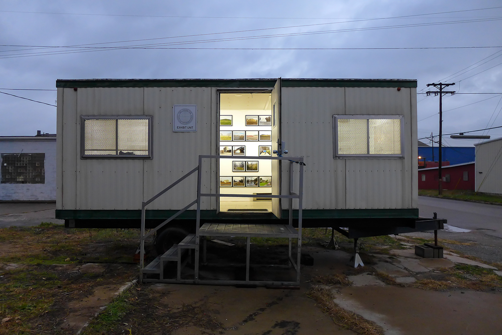
Charting The American Bottom is a multi-platform project in landscape curation. In a wide-ranging set of collaborations, the project takes the forms of publications, experimental bus-tours, convenings, web-based narrative geography, and a mobile Community Center.
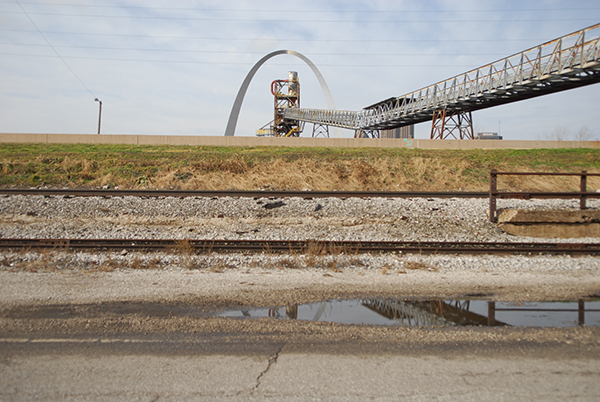
Few regions in the United States exhibit a social and spatial fragmentation as extreme as that of the vast flood plains of the East St Louis region. As a coherent geographic interval stretching from the confluence of the Missouri and Mississippi rivers down to the confluence with the Kaskaskia River, this flood plain--known to geographers and anthropologists as The American Bottom--is site to the social and spatial aspirations of pre-contact Native Americans, 19th century industrial expansion, 20th century infrastructural consolidation, and 21st century ecological precarity. Yet this is a region defined less by its inherent ecological and geological continuities and more by the industrial patterns that have effectively fractured this region into closed parcels of extraction, production, and displacement.
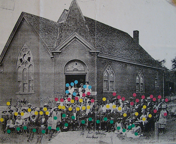
This project tells an urban/political/ecological/social history of the American Bottom. The slaughterhouses of National City, the aluminum plant of Alorton, and the steel mills of Granite City all gave rise to specific urban forms and social patterns that persist today. It is a narrative of municipal incorporation and dis-incorporation--with civic and social responsibility often at odds with the industrial imperatives of the time. If there was a shared attitude toward extraction, production, and capitol accumulation, then the sharp discontinuities and spatial fragmentation speak to the limitations of industrial production to address civic and social concerns.
|