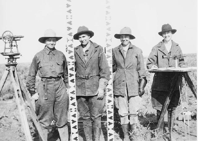
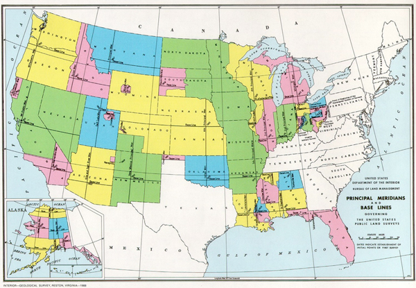
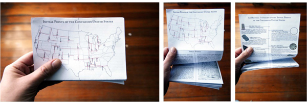
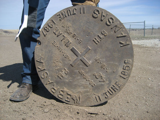
The grid of the Rectangular Survey System is a defining feature of the landscape of the Western United States, exacting on the ground and strikingly visible from the air. The seemingly ubiquitous grid may appear at first a perfectly uniform and endless system, yet within the millions of square miles it encompasses, there are 32 distinct markers that serve as the zero- point for individual survey campaigns performed throughout the history of American expansion. These survey markers, called Initial Points, were established between the years of 1803-1881; the monument at each one marks the singular Point of Beginning from which all lands surveyed under its coordinate system are referenced. These individual surveys range in area from a few hundred square miles to hundreds of thousands of square miles engulfing multiple states. The resulting reference system is vast; with, for example, a point in northwestern North Dakota described in reference to an Initial Point in southeastern Arkansas. At its greatest reach, the terrestrial coordinate system operates at a distance of over 1,000 miles. |